Google Maps has recently introduced a new feature that allows users to check weather and air quality details for any location directly within the app. This new addition makes it easier for users to access vital information, enabling them to make informed decisions and plan accordingly.
To use this feature, you need to follow these steps:
- Open the Google Maps app on your smartphone. Make sure you have the latest version installed.
- Search for the location you want to check. It could be your current city, a future travel destination or any other place of interest.
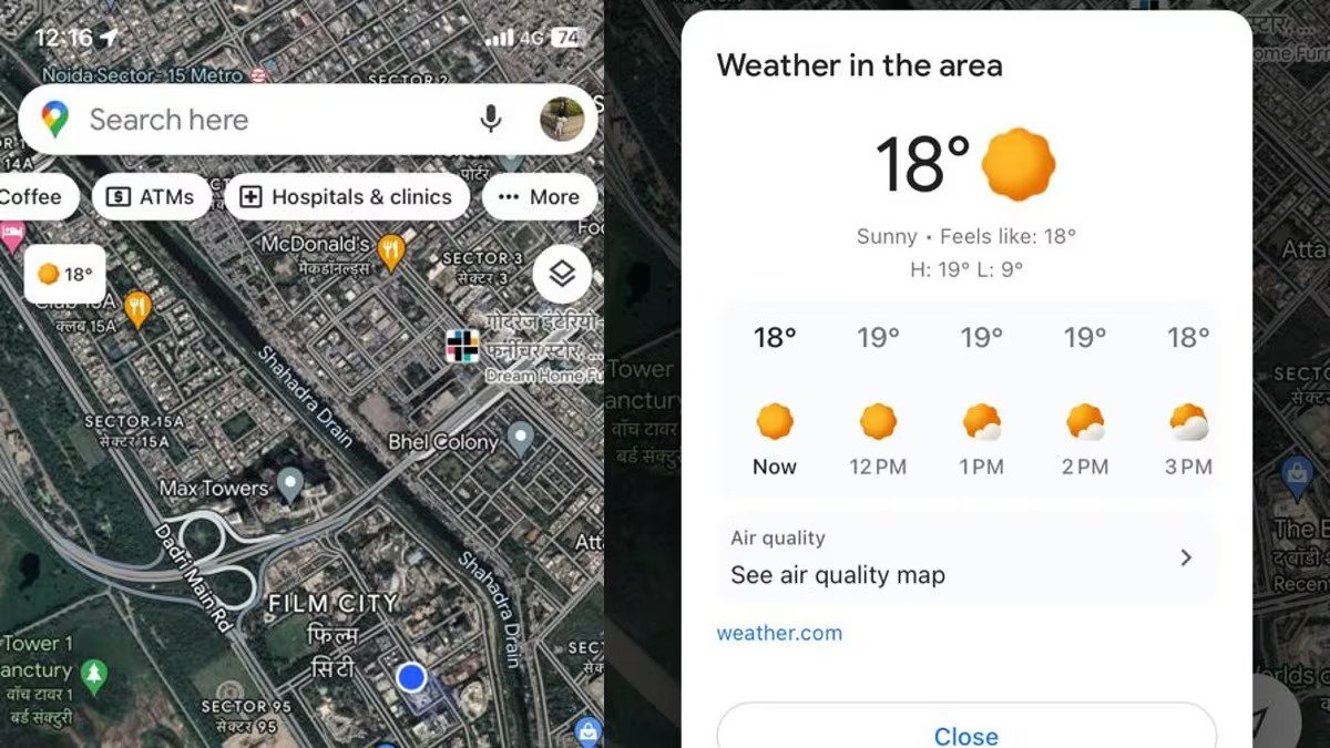
- Look for a small weather icon at the top left corner of the screen.
- Click on the weather icon to expand it. You’ll see additional information related to the weather, including the current temperature, a six-hour forecast and a “feels like” value.
In addition to weather and air quality information, Google Maps offers other useful functionalities. For instance, users can access details on wildfires, enabling them to stay informed and safe during emergencies. Furthermore, the app facilitates sharing live locations with friends and family, making coordination and meet-ups hassle-free.
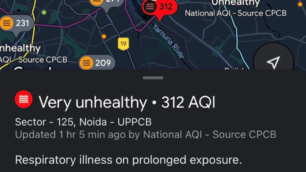
This feature can be invaluable if you’re planning a trip or an outing to a specific location. By knowing the forecast beforehand, you can better prepare for varying weather conditions and make the most of your time outdoors. Moreover, with real-time updates on the air quality index, you can gain insights into the environmental conditions of the area. This feature is available on both Android and iOS versions of the Google Maps app.
For more such content, keep reading @techinnews
